Sabbatical Leave 2019
– Complete Report –
FAQs
Your question not here?
Itineraries
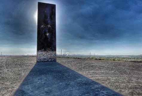
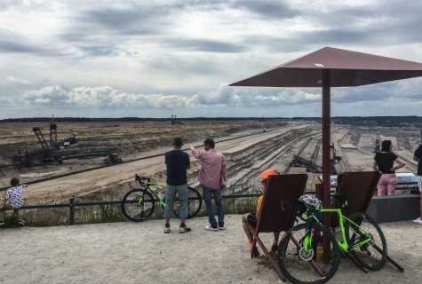
Metropole Ruhr
Stage 1: Industrial Heritage & Planning
August 4 – 23, 2019.
With kind support of:
– FoamPartner (Europe), Wolfhausen ZH
– FoamPartner (Germany), Leverkusen
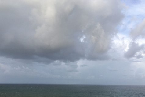
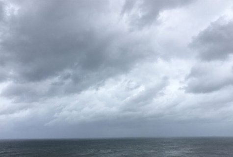
South Palm Beach
Stage 2: OpenStreetMap & Binge Reading
August 26 – September 25, 2019.
With kind support of Carole & Nicholas.
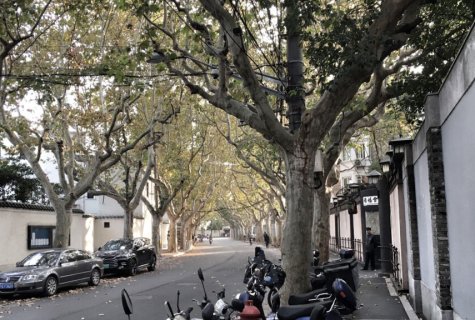
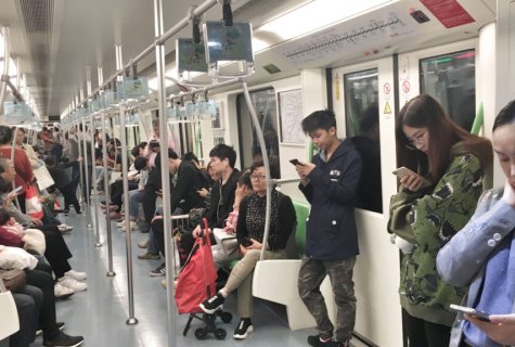
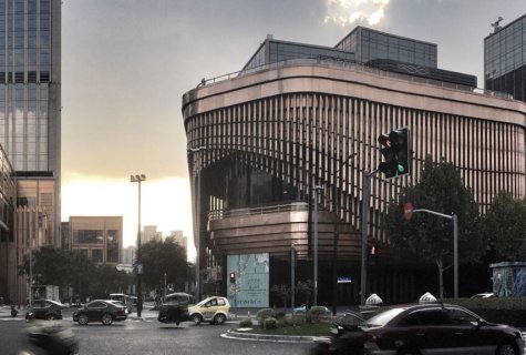
Shanghai
Stage 3: Customer Experience 4.0 & Goethe Institut, Swissnex
October 2 – November 10, 2019.
With kind support of:
– Gu Libing, Swissnex Shanghai
– Victor Liu, FoamPartner (China)
– Dr. Oliver Hartmann, Goethe Institut Shanghai
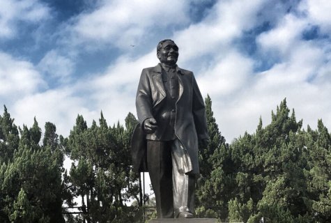
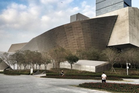
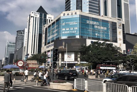
Shenzhen
Stage 4: Hi-Tec-Fair & SZTU (+BFH)
November 11 – 17, 2019.
With kind support of:
– Pesche Eigenmann, BFH International, Bern
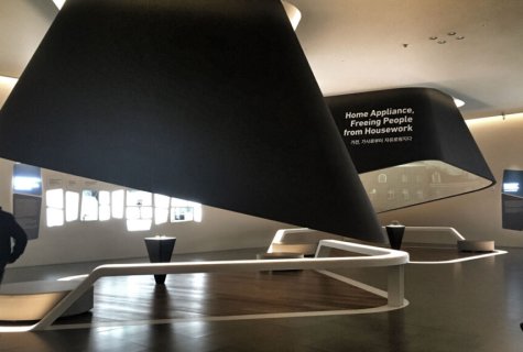
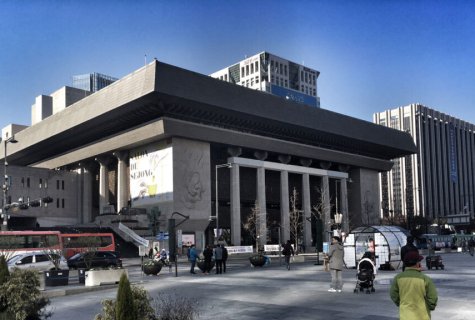
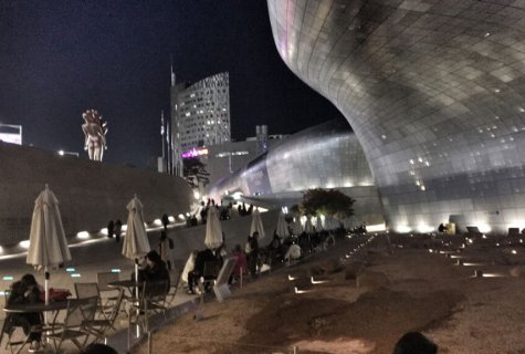
Seoul
Stage 5: Innovation Tours & Honkig University (+ Swiss Embassy)
November 18 – 25, 2019.
With kind support of:
– Alessandra Appicella & Ji Hyun Lim, Swiss Embassy
– Prof. Jooyeon Kim, Prof. Jaeyeop Kim, Prof. Sookyeon Kim, Hongik University
– Carsten Hunger, Goethe Institut
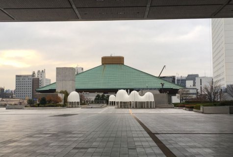
Tokyo
Stage 6: Brand Architecture & ENSA (+GTA)
November 26 – December 10, 2019.
With kind support of:
– Carlotta Daro, ENSA Paris
– Laurent Stalder, GTA Zurich
Taiwan
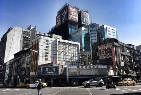
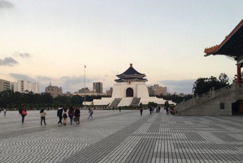
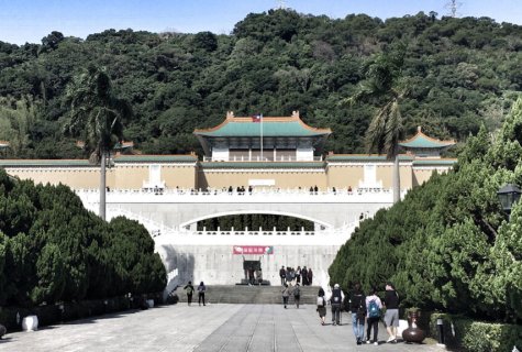
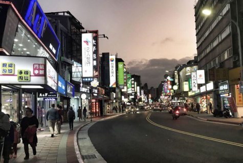
Stage 7: Taipeh & Emei
December 12 – 15, 2019.
With kind support of:
– Prof. Shi Shuin, National Tsing Hua University
Japan
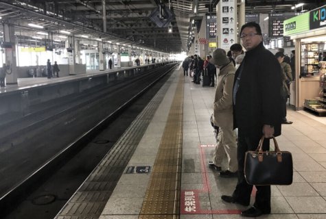
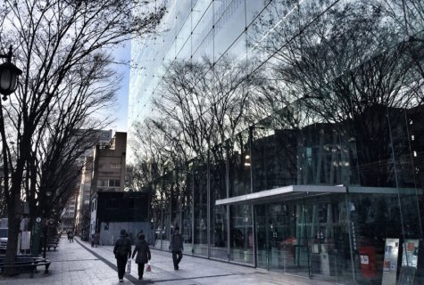
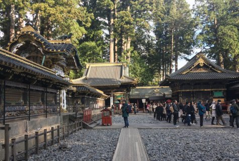
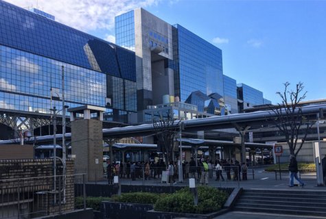
Stage 8: Osaka, Kyoto, Sendai
December 16 – 22, 2019.
With the wonderful travel companions Georg, Lilian, Anne & Georg.
Tools
Blogging while being on the move is an excellent way to reflect your own digital ecosystem – especially while traveling in China (consider the firewall!). By making immediate use of the «artefacts» (photos, waypoints, tracks) generated while travelling, you dive in a kind of «cognitive mapping» process, that not only helps you to hold tight what you experience in the very moment, but also to see the connecting lines and patterns that underlies the here and now. Here are the tools I used to do so.
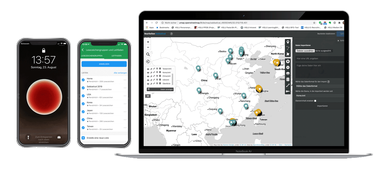
iPhone
Images, Video. Make sure geo information are saved (Meta information).
MapsME App
Way finding, saving waypoints (list building), data export (.kmz). Make sure the map works offline (GPS only) and allows transliteration of street names.
MacBook
Image transfer (from camera) to your computer. Check settings of your iPhone to make sure you do not loose the meta data (geo infomation), it’s not a default setting!
GPX Binder App
Unzip (.kmz to .kml), edit waypoints (naming, description). Alternatively use Google Earth (not recommended as you have to upload your .kmz-File).
Photoshop App
Edit images. Reduce image size (e.g. 1280px) and quality (e.g. 60%) to respect loading time of web page (and, problably, server capacity of your web hosting).
VPN
Be aware that in China all your cloud services are blocked. Have a VPN service in place to access your cloud service, e.g. Dropbox (it’s not possible to active a VPN while staying in China).
uMap
Import, edit, arrange Map, customize interaction options. Generate code sniplet for embedding the map (iFrame or Short-URL) plattform.
Wordpress
Upload images, embedd uMap code sniplet in the source code of the web page. Reduction of image size (e.g. 1280px) und quality (e.g. 60%) recommended.
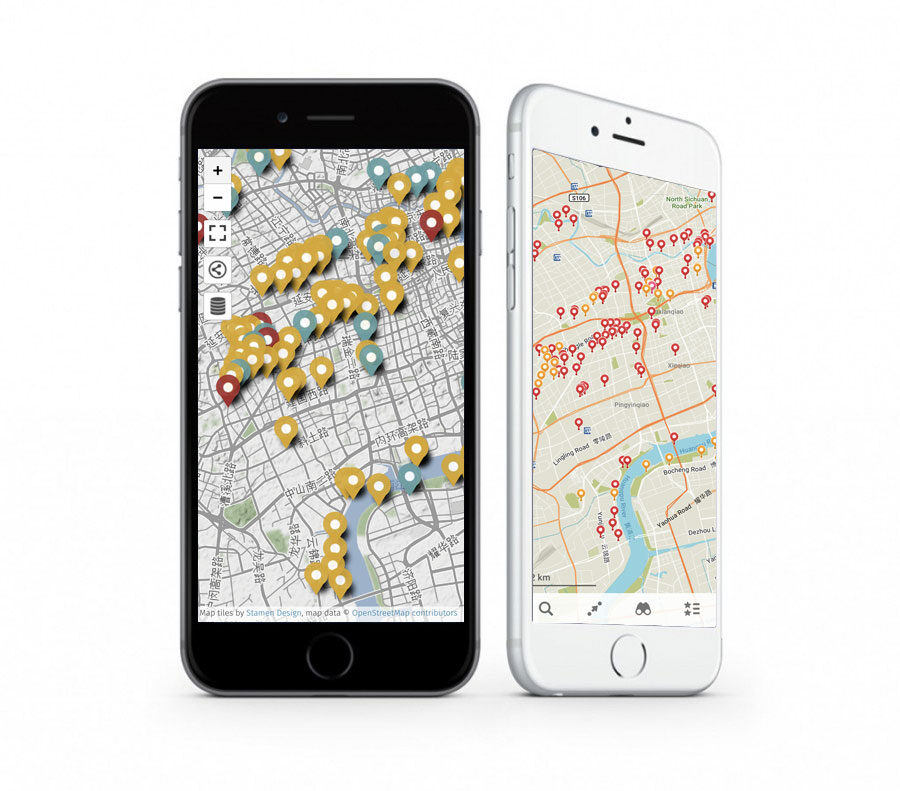
Meet uMap
uMap lets you create maps with OpenStreetMap layers in a minute and embed them in your site. And it’s open-source!
Your can easily import your .kml- or .gpx-Files derived from your mobile Map App. It allows you to edit the waypoints, e.g. adding a description, as well as to attach images to waypoints without uploading them to the (Google) cloud.
